Wavy jet stream linked with extreme weather
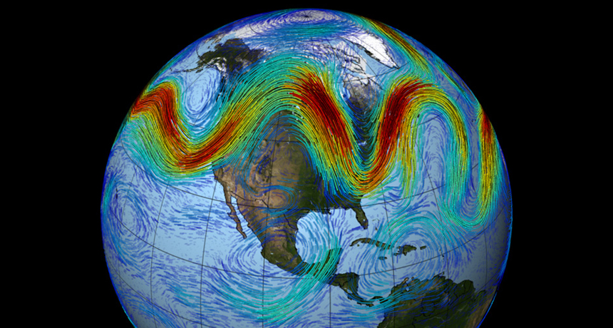
Big waves in the jet stream can push cold Arctic air farther south and warmer air farther north, increasing the chance of temperature and precipitation extremes.


NASA

When the jet stream gets wavy, there’s a greater chance of extreme weather.

The jet stream is a band of wind that marks the boundary between cold Arctic air and warmer southern air, and it has some natural wiggle. In response to natural climate patterns, those wiggles can morph into big waves, pushing cold polar flows farther south and warmer air farther north. Big waves have coincided with past hot and cold spells, droughts and flooding in specific regions around the world, researchers report June 22 in Nature Climate Change.

The results appear to be the first to provide direct evidence for the link between big waves in the jet stream and extreme weather. 

Ashley Yeager is the associate news editor at Science News. She has worked at The Scientist, the Simons Foundation, Duke University and the W.M. Keck Observatory, and was the web producer for Science News from 2013 to 2015. She has a bachelor’s degree in journalism from the University of Tennessee, Knoxville, and a master’s degree in science writing from MIT.